THE MAP LIBRARY

Find your corner of the world.

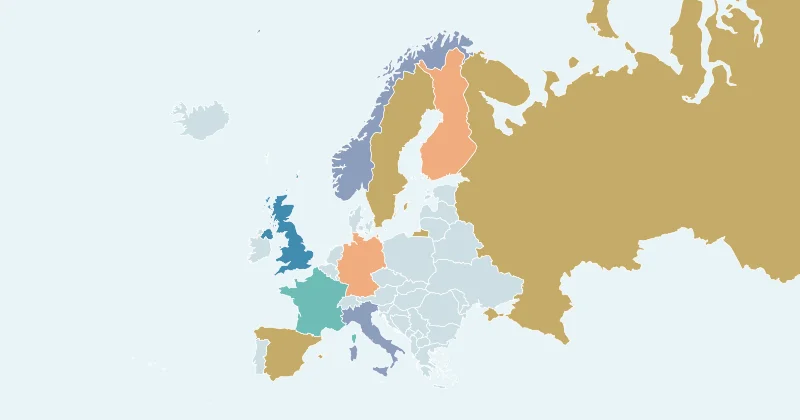
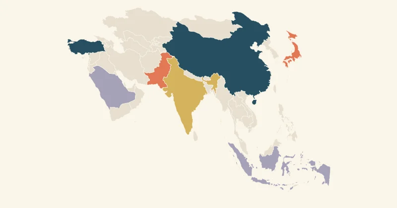
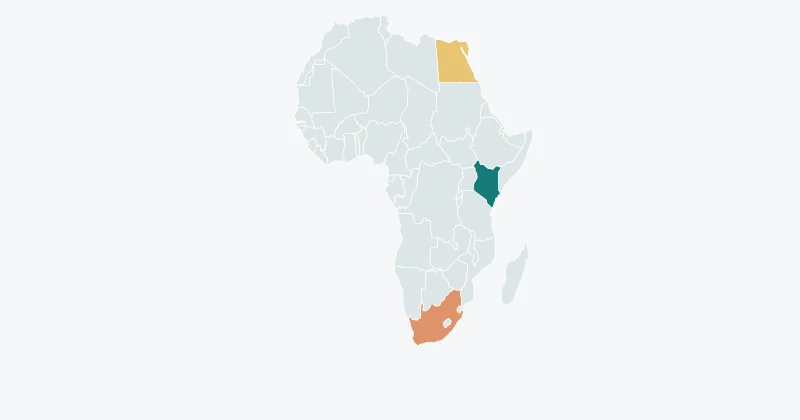
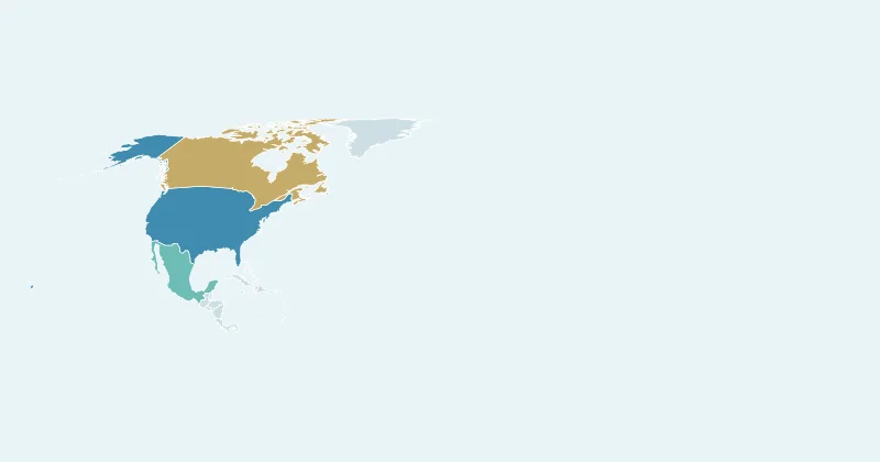
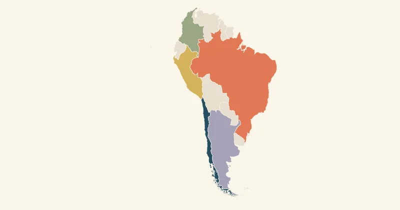
Explore world, continent and regional maps. Create a free map chart with colours, labels, data and animated exports.
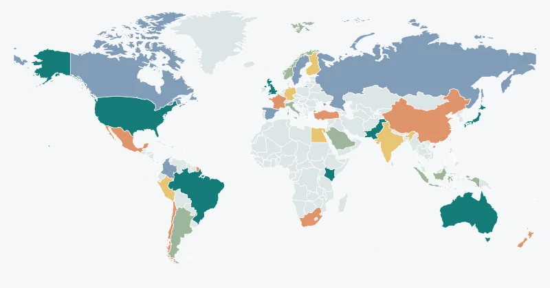
World, continents and 252 regional datasets

Every region has a story.

Explore the full reference library. Regional levels and boundary dates vary; check each map’s source notes.

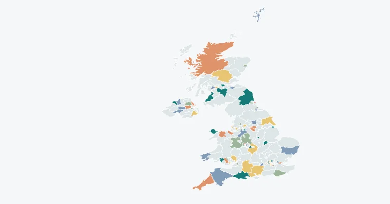
Afghanistan34 ↗Akrotiri Sovereign Base Area1 ↗Åland11 ↗Albania12 ↗Algeria48 ↗American Samoa5 ↗Andorra7 ↗Angola18 ↗Anguilla15 ↗Antarctica2 ↗Antigua and Barbuda8 ↗Argentina24 ↗Armenia11 ↗Aruba1 ↗Ashmore and Cartier Islands1 ↗Australia11 ↗Austria9 ↗Azerbaijan78 ↗Bahrain5 ↗Bangladesh7 ↗Barbados11 ↗Baykonur Cosmodrome1 ↗Belarus7 ↗Belgium11 ↗Belize6 ↗Benin12 ↗Bermuda11 ↗Bhutan20 ↗Bolivia9 ↗Bosnia and Herzegovina18 ↗Botswana15 ↗Brazil27 ↗British Indian Ocean Territory1 ↗British Virgin Islands1 ↗Brunei4 ↗Bulgaria28 ↗Burkina Faso45 ↗Burundi17 ↗Cambodia24 ↗Cameroon10 ↗Canada13 ↗Cape Verde22 ↗Cayman Islands1 ↗Central African Republic17 ↗Chad22 ↗Chile16 ↗China32 ↗Clipperton Island1 ↗Colombia34 ↗Comoros3 ↗Cook Islands11 ↗Coral Sea Islands1 ↗Costa Rica7 ↗Croatia21 ↗Cuba16 ↗Curaçao1 ↗Cyprus5 ↗Czech Republic14 ↗Democratic Republic of the Congo11 ↗Denmark5 ↗Dhekelia Sovereign Base Area1 ↗Djibouti6 ↗Dominica10 ↗Dominican Republic32 ↗East Timor13 ↗Ecuador24 ↗Egypt27 ↗El Salvador14 ↗Equatorial Guinea7 ↗Eritrea6 ↗Estonia15 ↗Ethiopia11 ↗Falkland Islands1 ↗Faroe Islands1 ↗Federated States of Micronesia4 ↗Fiji5 ↗Finland18 ↗France101 ↗French Polynesia5 ↗French Southern and Antarctic Lands4 ↗Gabon9 ↗The Gambia6 ↗Georgia12 ↗Germany16 ↗Ghana10 ↗Gibraltar1 ↗Greece14 ↗Greenland6 ↗Grenada7 ↗Guam1 ↗Guatemala22 ↗Guernsey1 ↗Guinea34 ↗Guinea-Bissau9 ↗Guyana10 ↗Haiti10 ↗Heard Island and McDonald Islands1 ↗Honduras18 ↗Hong Kong18 ↗Hungary43 ↗Iceland9 ↗India36 ↗Australian Indian Ocean Territories2 ↗Indonesia33 ↗Iran31 ↗Iraq18 ↗Ireland34 ↗Isle of Man1 ↗Israel6 ↗Italy110 ↗Ivory Coast19 ↗Jamaica14 ↗Japan47 ↗Jersey1 ↗Jordan12 ↗Kazakhstan16 ↗Kenya8 ↗Kiribati2 ↗Kosovo30 ↗Kuwait6 ↗Kyrgyzstan8 ↗Laos17 ↗Latvia119 ↗Lebanon6 ↗Lesotho10 ↗Liberia15 ↗Libya22 ↗Liechtenstein11 ↗Lithuania10 ↗Luxembourg3 ↗Macau1 ↗North Macedonia84 ↗Madagascar22 ↗Malawi28 ↗Malaysia16 ↗Maldives21 ↗Mali9 ↗Malta68 ↗Marshall Islands2 ↗Mauritania13 ↗Mauritius16 ↗Mexico33 ↗Moldova40 ↗Monaco1 ↗Mongolia22 ↗Montenegro21 ↗Montserrat3 ↗Morocco16 ↗Mozambique11 ↗Myanmar14 ↗Namibia13 ↗Nauru14 ↗Nepal14 ↗Netherlands15 ↗New Caledonia3 ↗New Zealand24 ↗Nicaragua17 ↗Niger8 ↗Nigeria37 ↗Niue1 ↗Norfolk Island1 ↗North Korea11 ↗Turkish Republic of Northern Cyprus1 ↗Northern Mariana Islands4 ↗Norway21 ↗Oman11 ↗Pakistan8 ↗Palau16 ↗Panama12 ↗Papua New Guinea20 ↗Paraguay18 ↗Peru26 ↗Philippines118 ↗Pitcairn Islands1 ↗Poland16 ↗Portugal20 ↗Puerto Rico1 ↗Qatar7 ↗Serbia25 ↗Republic of the Congo12 ↗Romania42 ↗Russia86 ↗Rwanda5 ↗South Sudan10 ↗Saint Barthélemy1 ↗Saint Helena3 ↗Saint Kitts and Nevis14 ↗Saint Lucia11 ↗Saint Martin1 ↗Saint Pierre and Miquelon2 ↗Saint Vincent and the Grenadines6 ↗Samoa11 ↗San Marino9 ↗São Tomé and Príncipe2 ↗Saudi Arabia13 ↗Senegal14 ↗Seychelles26 ↗Siachen Glacier1 ↗Sierra Leone4 ↗Singapore5 ↗Sint Maarten1 ↗Slovakia8 ↗Slovenia193 ↗Solomon Islands10 ↗Somalia13 ↗Somaliland1 ↗South Africa9 ↗South Georgia and the South Sandwich Islands1 ↗South Korea17 ↗Spain52 ↗Spratly Is.1 ↗Sri Lanka25 ↗Sudan17 ↗Suriname10 ↗Eswatini4 ↗Sweden21 ↗Switzerland26 ↗Syria15 ↗Taiwan21 ↗Tajikistan5 ↗Thailand77 ↗The Bahamas30 ↗Togo5 ↗Tonga5 ↗Trinidad and Tobago16 ↗Tunisia23 ↗Türkiye81 ↗Turkmenistan5 ↗Turks and Caicos Islands6 ↗Tuvalu1 ↗US Naval Base Guantanamo Bay1 ↗Uganda112 ↗Ukraine25 ↗United Arab Emirates9 ↗United Kingdom232 ↗Tanzania30 ↗United States Minor Outlying Islands8 ↗United States Virgin Islands3 ↗United States51 ↗Uruguay19 ↗Uzbekistan14 ↗Vanuatu6 ↗Vatican City1 ↗Venezuela26 ↗Vietnam63 ↗Wallis and Futuna3 ↗Palestine2 ↗Western Sahara1 ↗Yemen21 ↗Zambia10 ↗Zimbabwe10 ↗US counties3231 ↗

Choose geography before choosing colours

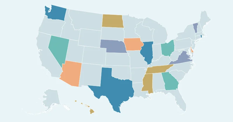
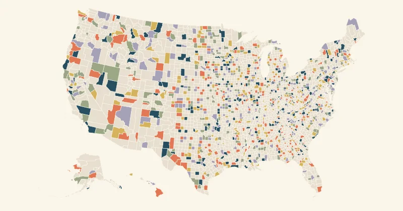
Country maps are useful for international stories. Regional maps show more detail inside a country, and the US counties layer supports county-level data. A map’s number of features does not indicate that every unit is a current first-level administrative division. Read its notes and match your data accordingly.