A little inspiration goes a long way.
Start with a free map template. Choose an editorial map, dark presentation, data chart or animated route.
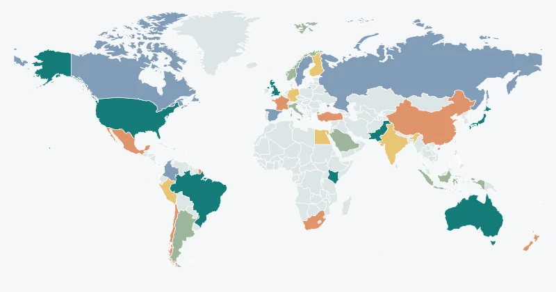 Country groups · FREE
The everyday atlas↗
An understated palette for geography lessons, team documents and everyday explanations.
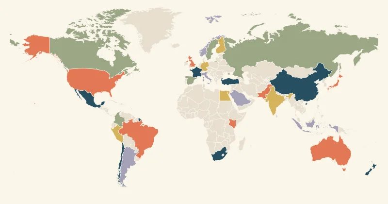 Editorial · FREE
A story in colour↗
Warm paper, contrasting region colours and a strong title for an editorial map.
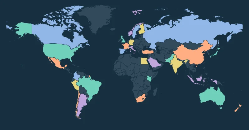 Presentations · FREE
After dark↗
A dark canvas with bright regional accents for slides and screen-first storytelling.
Country reveal · FREEAround the world↗
Reveal selected countries one after another in a short, exportable map animation.
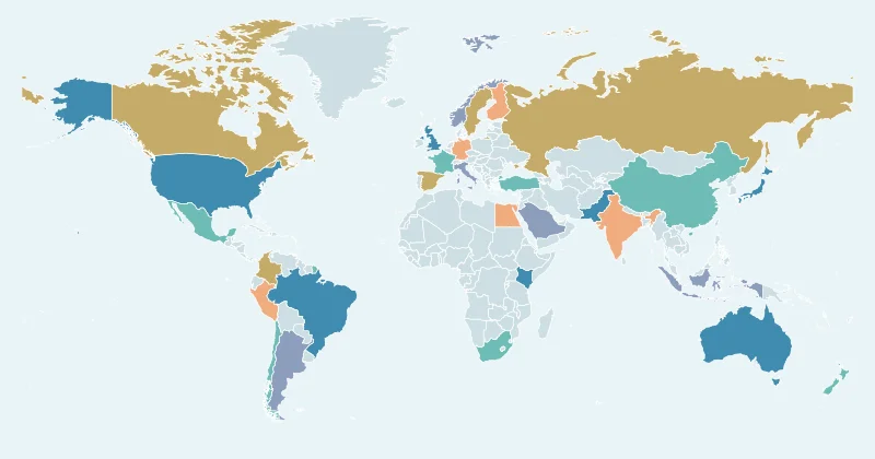 Animated route · FREE
A journey worth sharing↗
Join selected locations with a flowing route and tell the story of a journey.
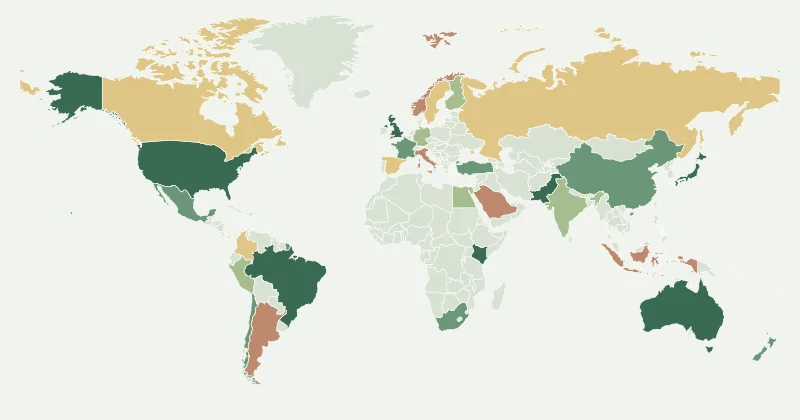 Data map · FREE
Let the numbers talk↗
A calm background and sequential colours keep numerical comparisons legible.
Ranking reveal · FREEThe countdown↗
Reveal regions by their imported numeric values, from lowest to highest.
Focus animation · FREEIn the spotlight↗
Bring attention to each selected region with a sequential visual spotlight.
A starting point, not a finished story
Templates include illustrative colours and example selections. Replace them with your own values and context. Every theme can be edited: choose a different palette, change the title and legend, or turn a static map into an animation.
For a numerical map, import your own CSV before exporting. Sample selections are design examples and should not be presented as factual statistics.